Solo Hiking the Shingle Mill
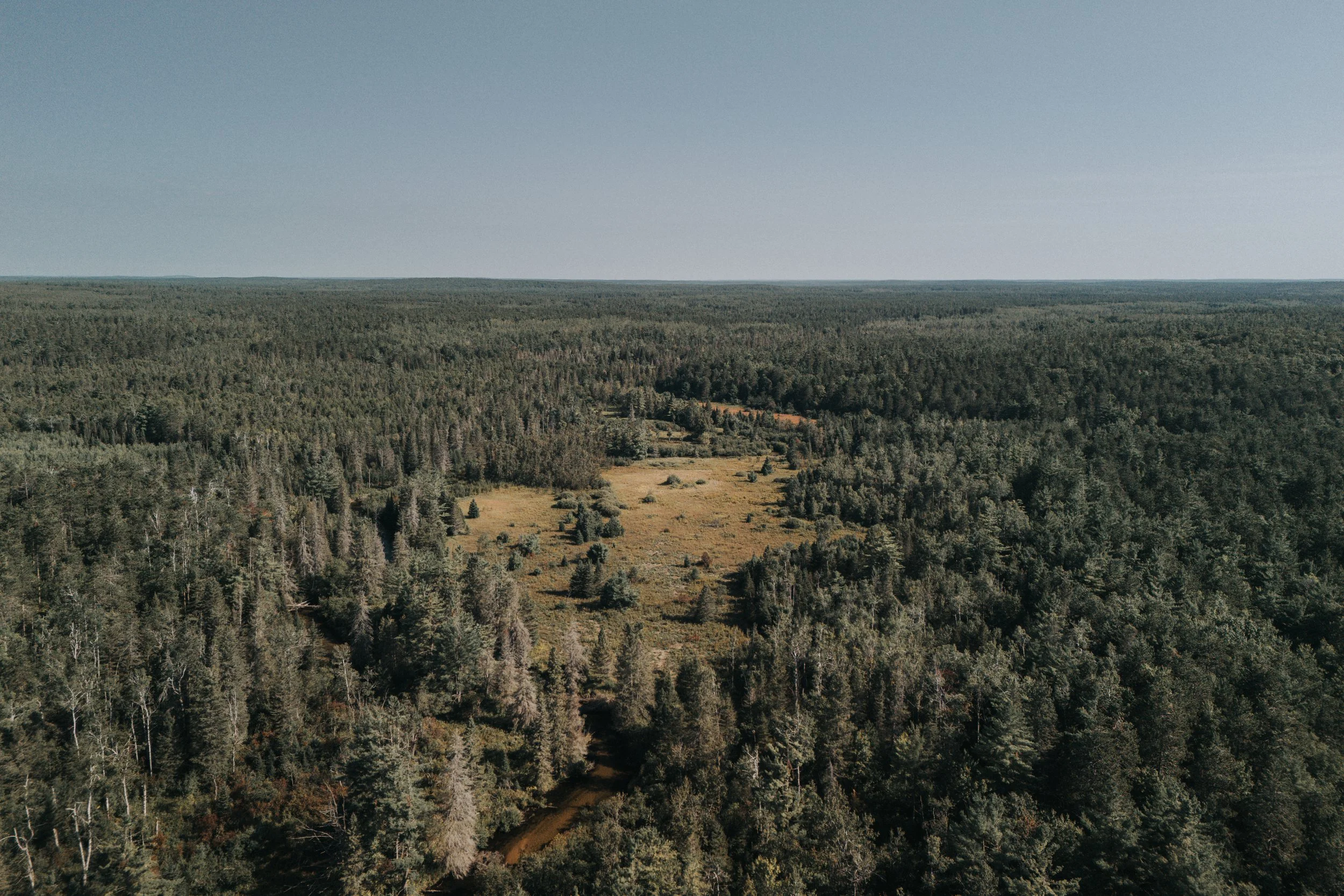
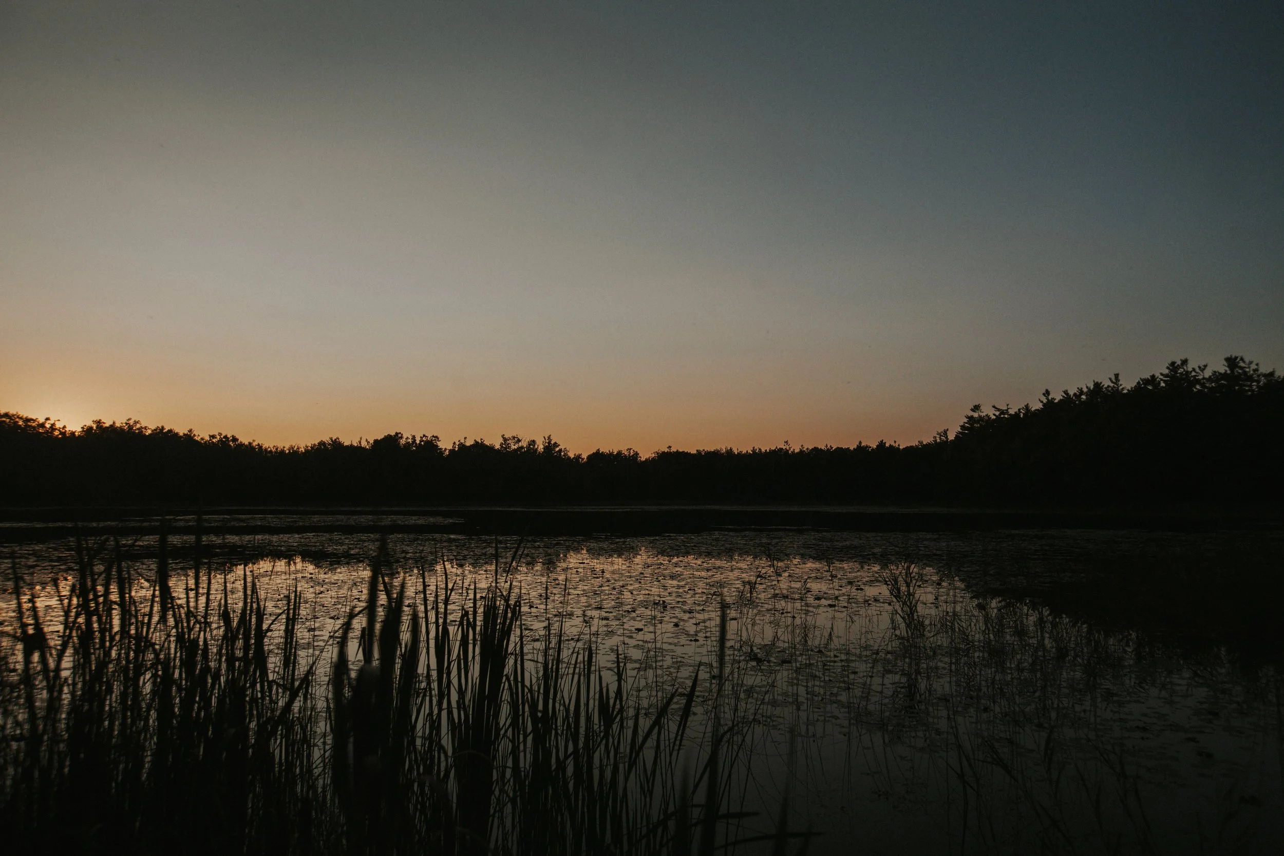
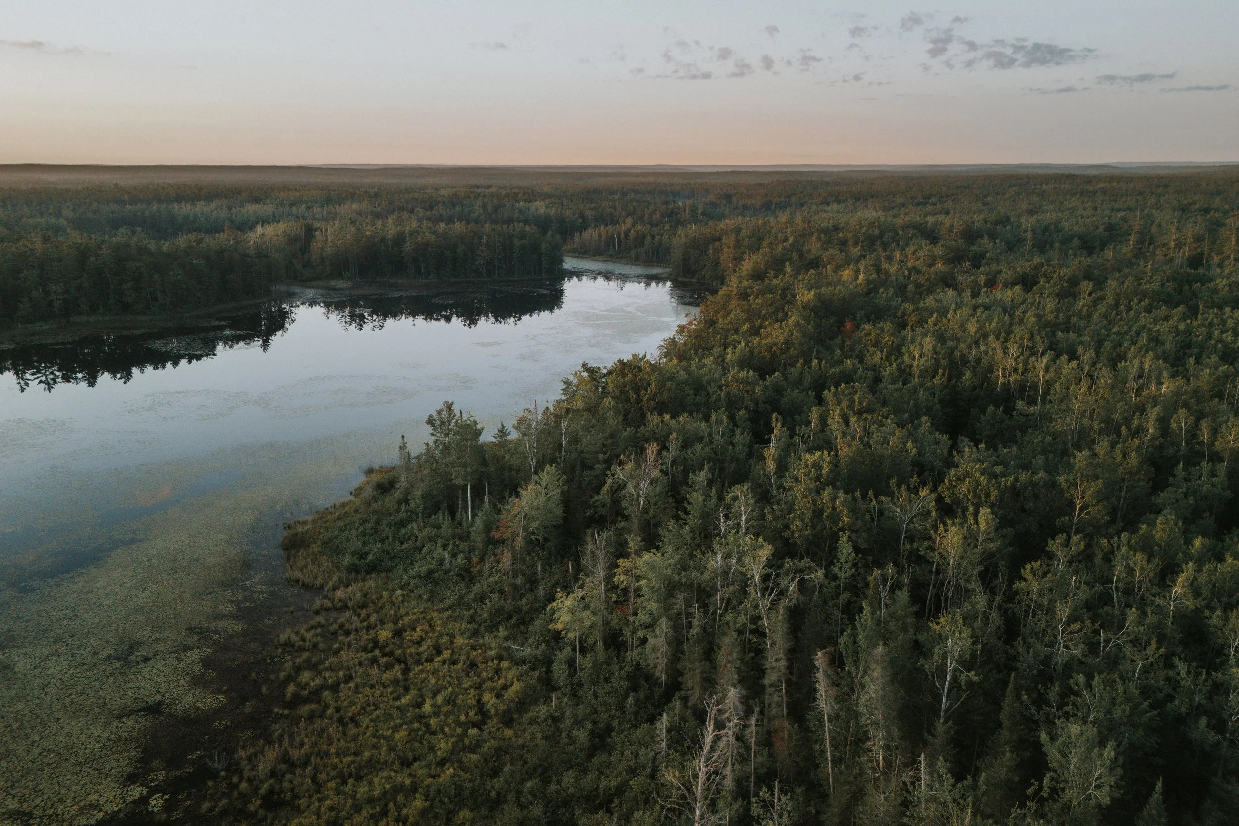
An aerial view of the Pigeon River and the pasture it flows by at the start of the Shingle Mill Pathway, just north of Sturgeon Valley
If one drives four hours north from Detroit, and heads 12 miles east from Vanderbilt, they’ll find themselves at the centre of what’s colloquially called ‘The Big Wild’. The Pigeon River Country State Forest, now standing at 112,962 acres, is the largest contiguous block of undeveloped state land in Michigan’s lower peninsula. When the Valders glacier retreated 10,000 years ago, it carved out the headwaters of the Sturgeon, Pigeon, and Black rivers - all designated Blue Ribbon Trout Streams - that support the forest’s rich ecosystem of bear, bobcat, deer, coyote, fox, beaver, and eagle. It is also home to approximately 1200 elk, one of the largest free-roaming herds east of the Mississippi. Ernest Hemingway, who spent most of his early childhood summers in Northern Michigan, described the Pigeon to his friend James Gamble in 1919, writing ”It is wild as the devil and the most wonderful trout fishing you can imagine…It’s a great place to laze around and swim and fish when you want to. And the best place in the world to do nothing. It is beautiful country Jim.”
The X at bottom left is my family cottage. Circled is the Shingle Mill Pathway with the southern X the start and end point and the northern X where I camped for the night.
I first discovered the Pigeon in 2014. Since then I’ve spent untold hours exploring the dusty dirt roads that meander to hidden lakes and rivers and large groves of birch or red pine. But I’ve never hiked much of it. Not alone. And never for the night. But the adventure in me grows, as I slowly broaden my boundaries.
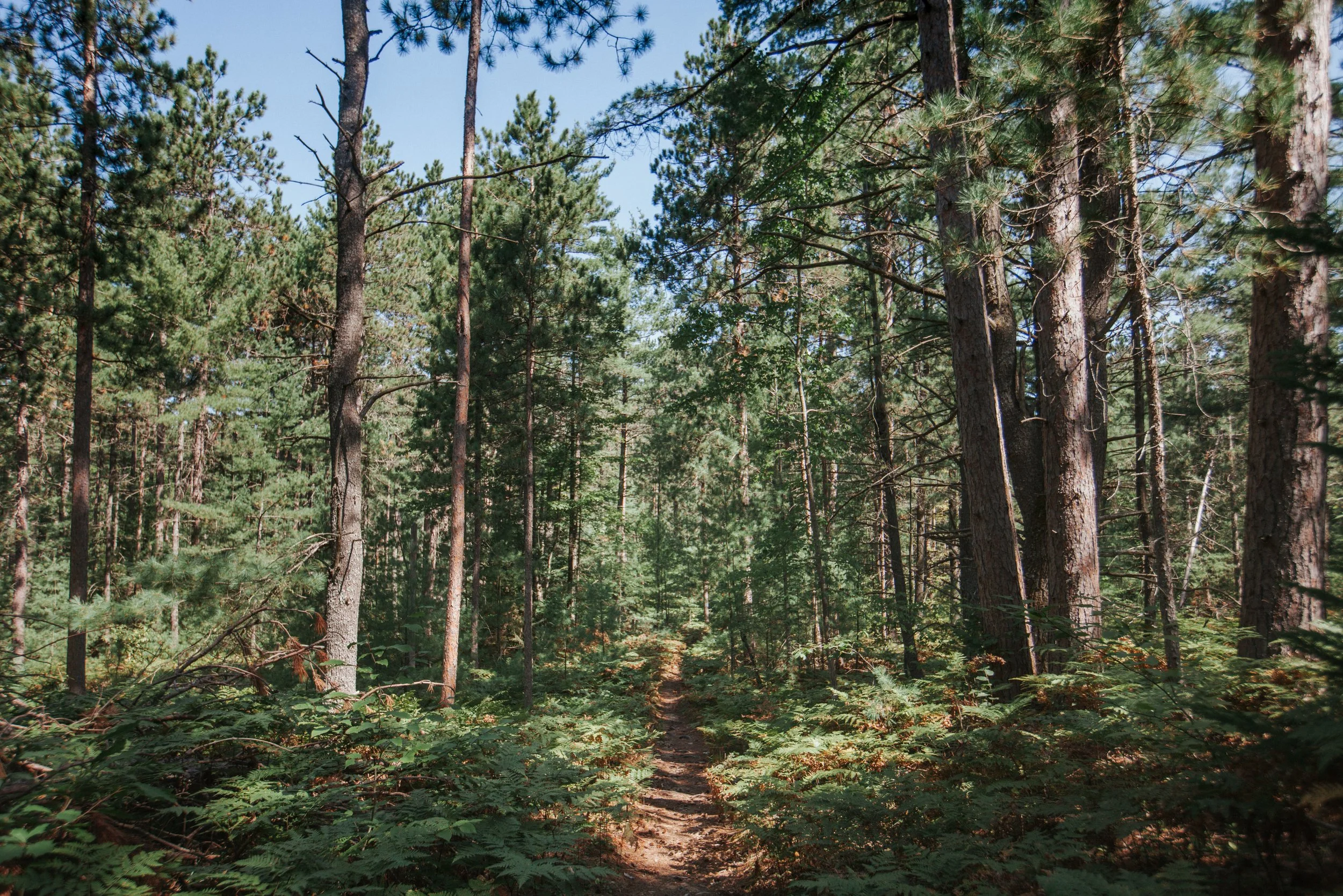
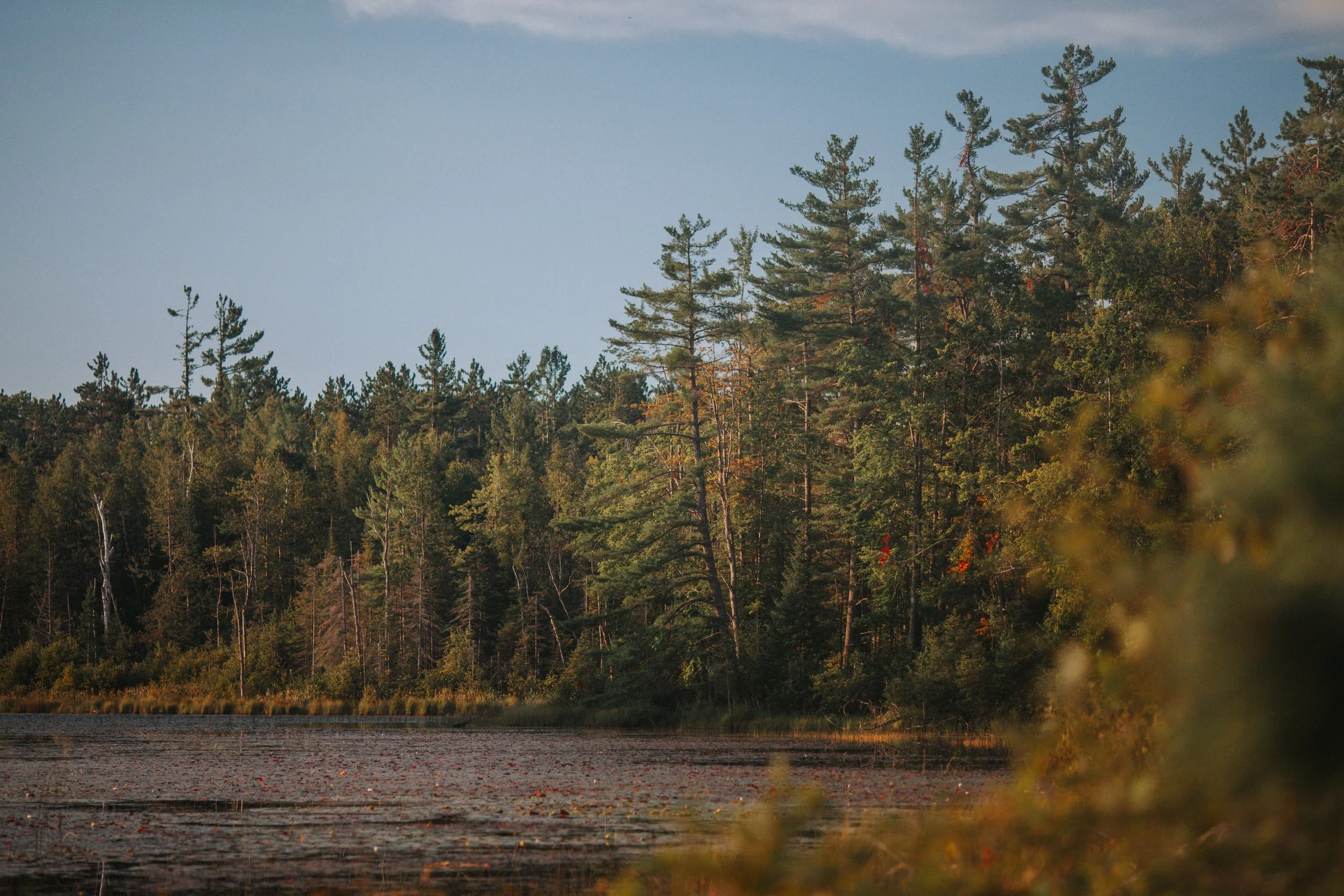
So after a slow morning of sipping coffee on the deck with my aunt and uncle, I made the final call on what to bring, packed up my bag one last time and drove up the winding Tin Shanty Road to the trail head on Sturgeon Valley Road. I was on my way at 12:26pm, an apple in one hand and a chicken sandwich my aunt made me in the other. I would be heading north-east, counter clockwise, on the 10-mile loop of the Shingle Mill Pathway. The sky was bright blue and temps were in the lower 70’s. Late summers in the north can be heavenly.
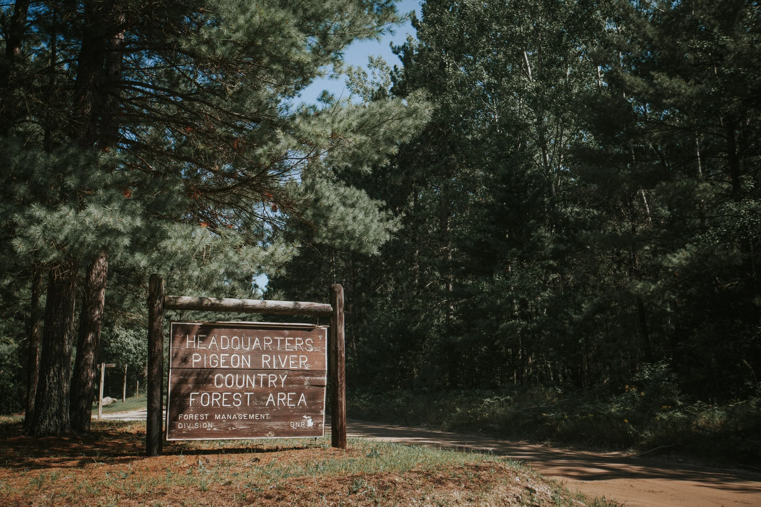
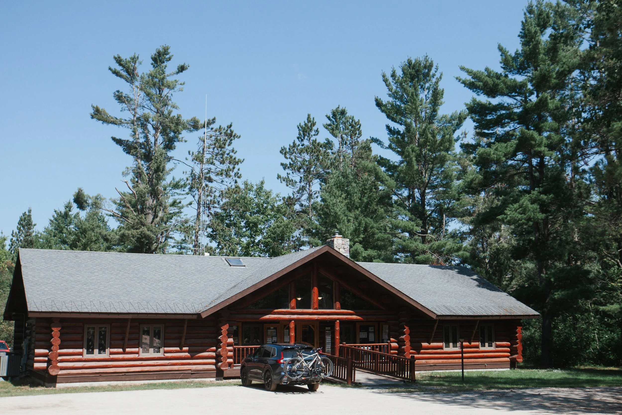
For the first three and half miles the path hugs the Pigeon River bringing you past the Pigeon River Headquarters, where I arrived at 1:22pm. Constructed in 1935 by the Civilian Conservation Corps, a New Deal program created by President Franklin D. Roosevelt in order to employ young men left out of work by the Great Depression, the complex mostly now acts as a visitor centre but it was instrumental in the early days in shaping the state land back to it’s natural condition after decades of heavy logging.
Early conservation efforts at the headquarters included extensive tree planting, fire management, monitoring fish populations, campground development, land acquisition, and the restocking of game species - especially the newly arrived small herd of elk. As I mentioned above, the Pigeon is home to one of the largest elk herds east of the Mississippi. Elk are native to Michigan but disappeared in 1877. In 1918, seven elk from Jackson Hole, Wyoming were brought to Michigan and as Dale Clarke Franz writes in Pigeon River Country, "were all released in the Pigeon River Country three or four miles southeast of Wolverine along the Sturgeon River. The elk we have now are the result of this release.”
Twenty-two minutes later I was walking through the Pigeon River Campground which was largely empty but for a few RV trailers, some barking dogs, and a few cases of empty Budweisers. I took my first break where I ate some dried mango, an energy gel, and guzzled a Nalgene of water so I could fill it back up at the water well pump. This, as far as I knew, would be the last spot to fill up on water and so I had to make two Nalgene’s last for the remainder of the day and my hike out.
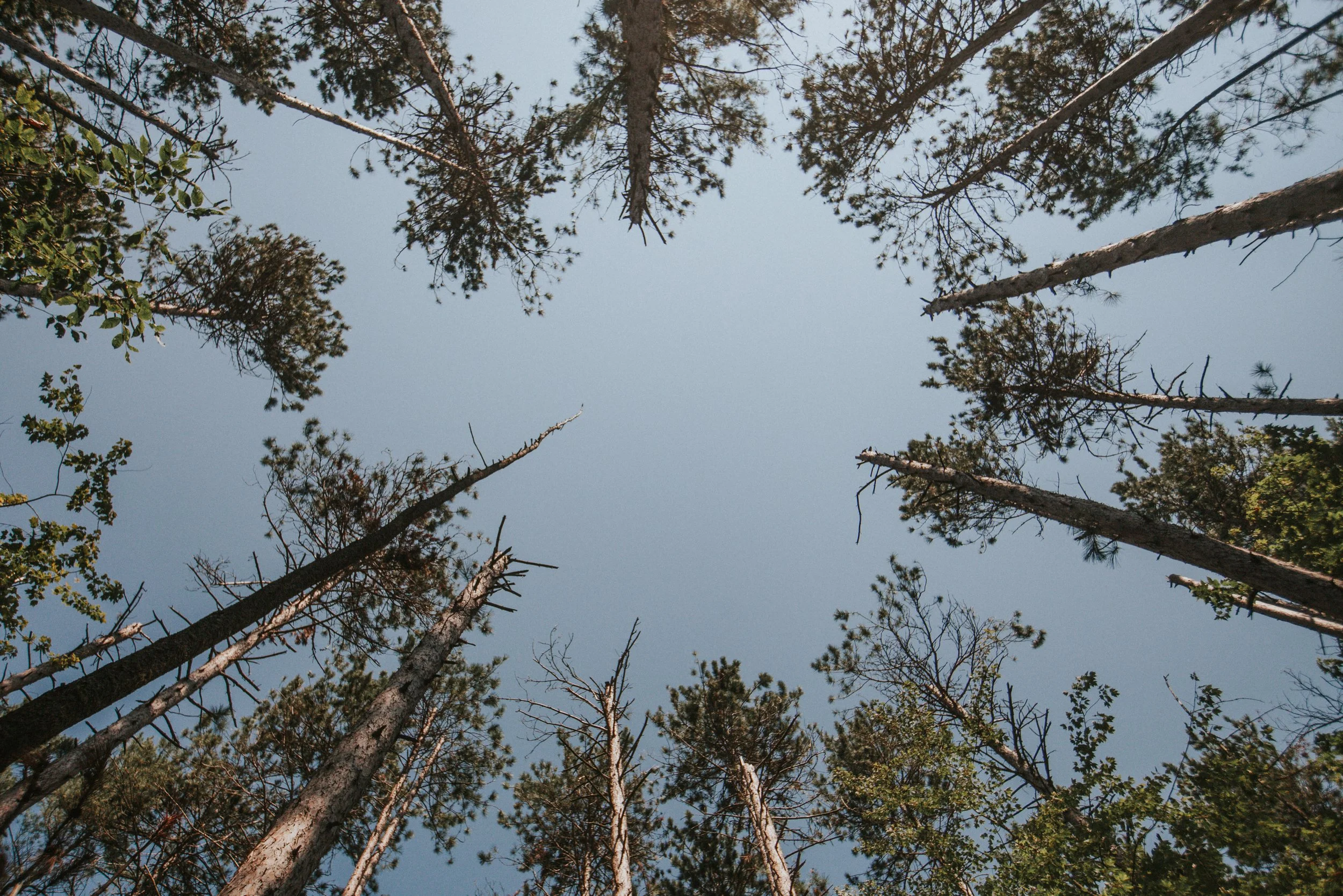
A brief moment later I crossed the Pigeon River Bridge as two kids and their dog splashed around in the water while dad stood by with a drink and mom sat on shore, everyone soaking up the last moments of summer. It was Labour Day and the seasonal shift was underway. At this point the trail follows an elevated ridge north along the river and becomes more remote. It was unlikely I was to see anyone for the remainder of my hike. But this is expected when visiting the Pigeon. Often I’ll go hours without seeing a single soul.
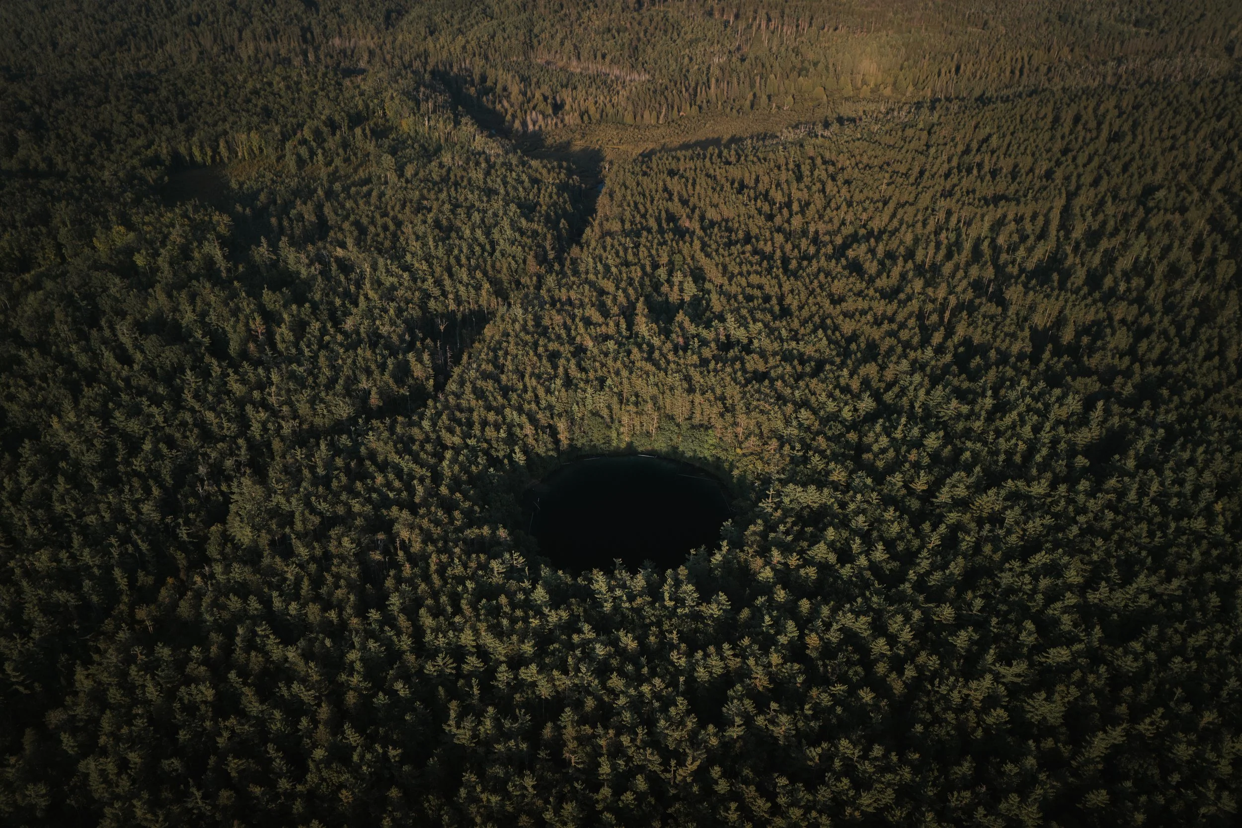
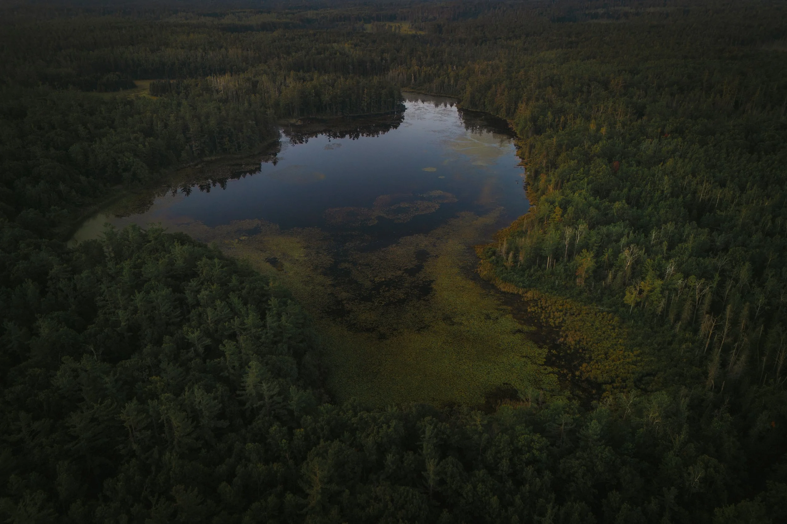
At 2:45pm, I arrived at Section 4 Lake, one of seven of the forest’s sinkhole lakes, and one of the more fascinating features of the Pigeon. Dale Clarke Franz writes, “These lakes are part of a cave formation, cone-shaped, three to four acres in diameter at the surface, with depths from 30 to 60 feet.” They are what’s called classic karst sinkhole lakes, formed when underlying limestone or shale bedrock dissolves and collapses, creating deep, rounded depressions that fill with spring-fed water. If one is looking at the area on a map, it may appear as if ‘somebody poked a giant pencil straight down into the forest, leaving perfectly round holes that filled with water’ says Sibley Hoobler in Pigeon River Country. They often display tropical Caribbean hues, especially under a high sun, giving an almost surreal feel in the dense Northwoods setting.
A man and woman were down at the small sandy shoreline when I arrived. The lake can be accessed by car from Grass Lake Road and after they departed I dropped my pack and went down for a break. I’ve brought many people here over the years, mostly friends and family. I don’t remember every visit but the ghosts of those no longer with you penetrate your memory more noticeably. The reflection more tender. I thought about my friends - Pete, and Toz, and the Cooper twins - who I brought for a visit in 2019, and mused over all that has changed since then. I thought about others.

An aerial view of Section 4 Lake.
After twenty minutes I flung my pack on for the last leg of hiking for the day. I still didn’t know where I would be making camp. I had already hiked through two rustic campgrounds, of which there are seven in the Pigeon. These campgrounds are first come first served and are suited with a fire ring, vault toilets, and well water and cost a small fee. A second option, if you’re willing, is dispersed camping. In principle, you are free to camp anywhere within the boundaries of the forest, free of charge. However, some sites have been established, cleared and with a fire ring, and many surround Grass Lake near the northern portion of the Shingle Mill Pathway.

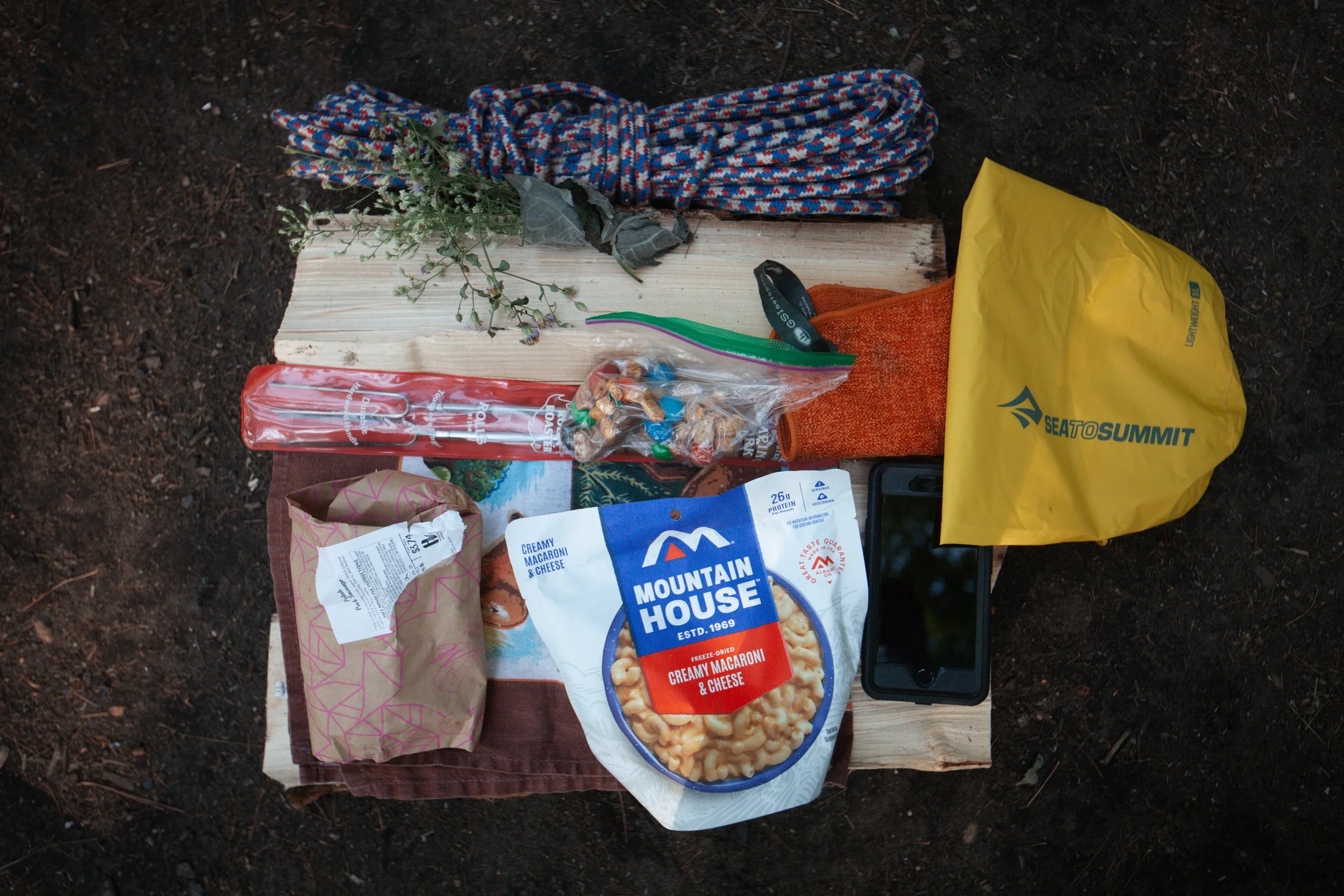
As campers were clearing out after the long weekend I found a suitable camp with a wide space and plenty of firewood. And while I saw a few vehicles drive by, I sensed I was the only one on the lake that night. I set up camp and made dinner over the fire - sausages and dehydrated mac n’ cheese - and after flying the drone and briefly exploring the area, I crawled into my tent for an early night.
I woke up at 6am and waited for twenty or more minutes for the darkness to fade before breaking down camp and getting some coffee and snacks in me. I took advantage of the morning light to fly the drone again and I was on my way by 8am. I proceeded to walk north on Grass Lake Road so I could get back on the Shingle Mill on the north-west side of the lake where I’d begin my trek due south to the car. It was quiet and the light was soft and the air brisk. It’s my favourite time to be out in nature.

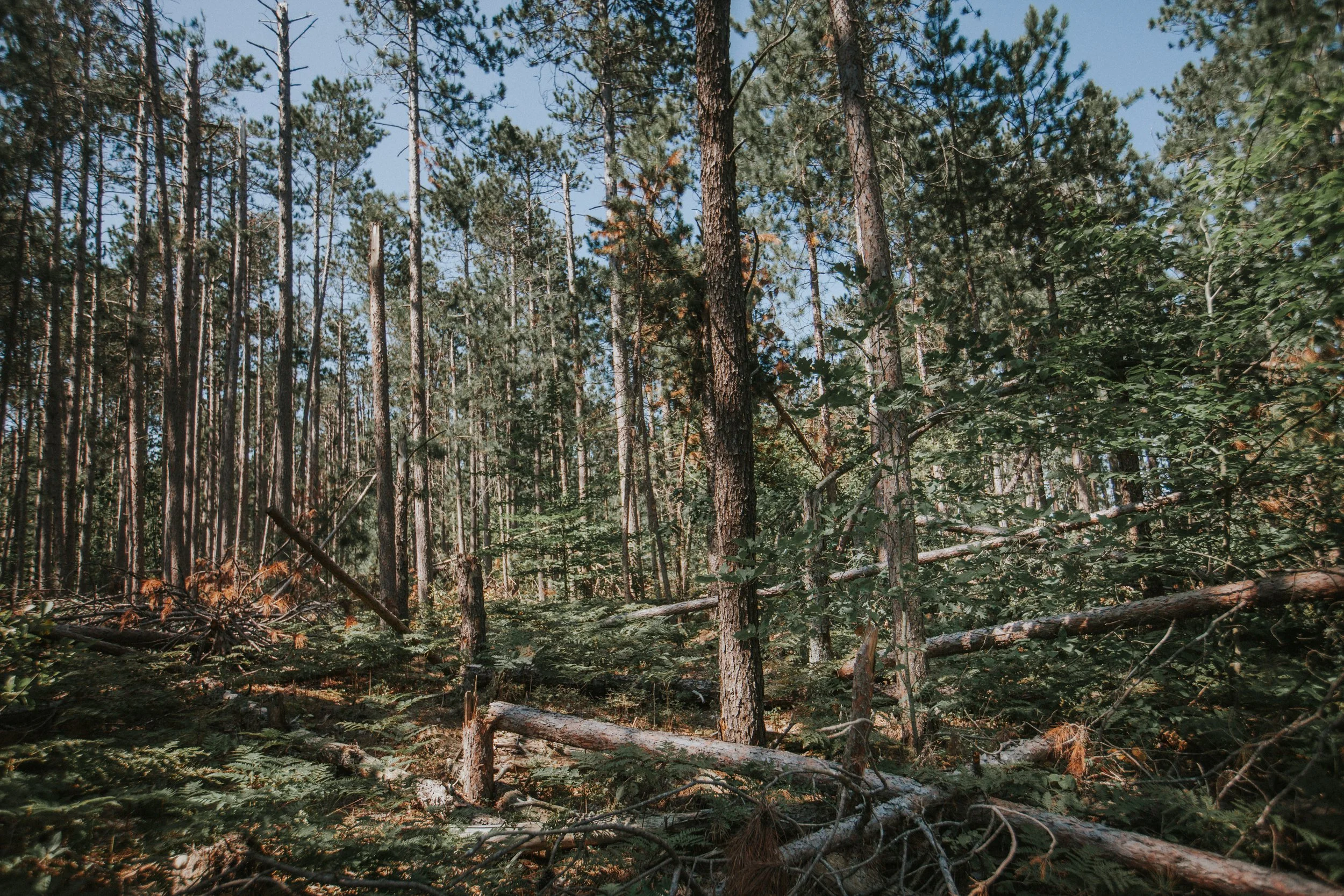
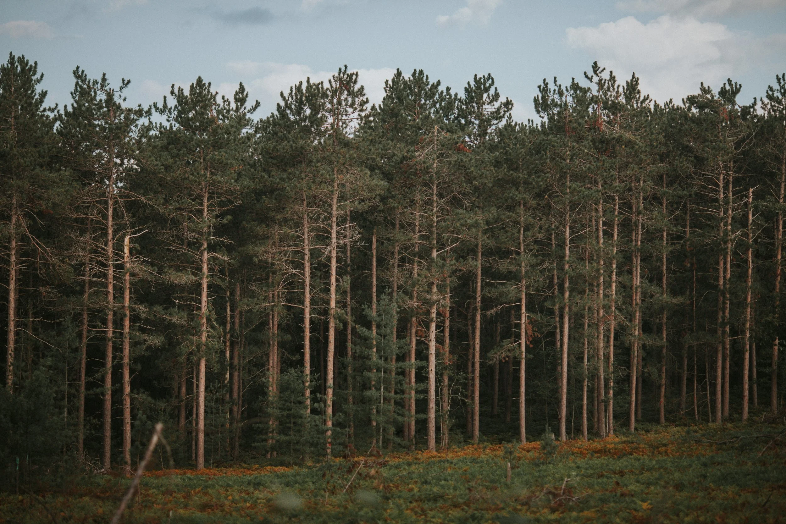
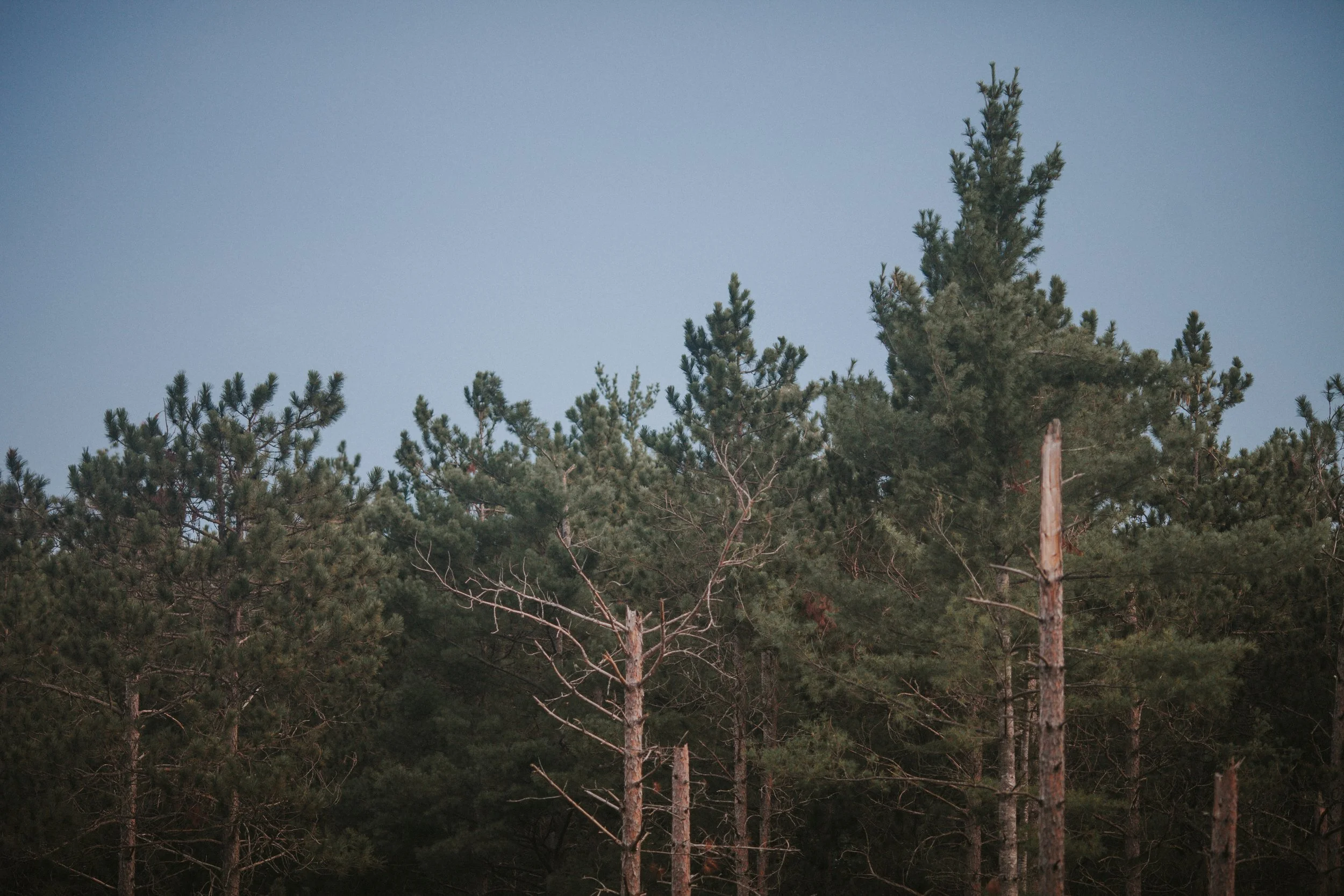
Something that was very evident on the first day and was continuing as I trekked south was how pervasive the March ice storm damage is. Along large sections of the trail trees had to be cleared and a tangled wreck of branches and logs lay on either side of the path. It was mostly noticeable while hiking through groves of Red Pine, their pillared trunks arched to the point of snapping like toothpicks from the heavy ice. Reports indicate extensive areas experienced 0.25 to 0.50" of icing while several counties accrued twice as much. A standard rule for ice accumulation is roughly 5lbs per sq. foot, which can add thousands of pounds to a mature pine tree.
While ice storms are a natural and recurring phenomenon, current scientific understanding suggests that climate change may contribute to the conditions that make such storms more likely, and more severe. Warming temperatures are leading to more moisture in the atmosphere, which, when combined with cold air, can result in heavier precipitation, including freezing rain.

This may not find responsive ears in the deep red Republican counties surrounding the state forest, yet environmentalism has a coloured history in the Pigeon River Country. In the early 1970’s oil and natural gas were discovered within the state forest’s boundaries. Oil companies, who sought to drill, were met with fierce opposition from conservation groups who filed lawsuits to stop the drilling. This led to the first major test of Michigan’s new Environmental Protection Act of 1970, which allowed citizens legal recourse to protect natural resources.
The case, decided by the Michigan Supreme Court, was seen as a compromise, allowing limited oil and gas development under very strict conditions. It became known as the ‘Pigeon River Country Consent Agreement’, a national precedent for citizen-led environmental lawsuits and middle-ground compromise. But in addition to the strict oversight, revenue from oil and gas royalties helped fund the Michigan Natural Resources Trust Fund (MNRTF) which uses those dollars to purchase and protect public lands. This was demonstrated when the state acquired the Green Timbers Tract in 1982, the Blue Lakes area in 1990, and the Elk Forest at Black River in 2020, growing the boundaries of the Pigeon by nearly 20,000 acres, with much of the proceeds coming from the MNRTF.
As I made my way south, I passed through a clearing that was logged several years prior - another example of middle-ground compromise - and eventually to the last portion of the hike where the trail descends into a lush cedar swamp, accessible via a 1,700-foot boardwalk, before reconnecting with the Pigeon River. The babbling grew louder through dense thickets when I came to a small opening and some beautiful Black-eyed Susans. Where the forest seemed still, the river produced a flurry of activity. Rose-breasted Grosbeaks, Gray Catbirds, Black-and-White and Cape May Warblers, and Common Yellowthroats, all bouncing about in the morning sunlight.

I reached my car shortly after 10am and was back at the cottage a short while later. This hike was no physical test, but it fostered in me a deeper connection to this piece of land I’ve grown so attached to. And it furthered my commitment to independent adventurism. As I travelled back to Windsor the next day, the new school year beginning and the summer quickly fading, I recalled a letter Hemingway wrote to his friend Bill Smith in April, 1921, as he bemoaned his absence from the North.
“…sometimes get thinking about the Sturgeon and Black during the nocturnal and damn near go cuckoo - haven’t the Edgar attitude on that. May have to give it up for something I want more - but that doesn’t keep me from loving it with everything I have. Dats de way tings are. Guy loves a couple or three streams all his life and loves ‘em better than anything in the world - falls in love with a girl and the goddamn streams can dry up for all he cares. Only the hell of it is that all that country has as bad a hold on me as ever - there’s as much of a pull this spring as there ever was - and you know how it’s always been - just don’t think about it at all daytimes, but at night it comes and ruins me….”
Giving it up for something you want more. Later that year Hemingway moved to Paris with his first wife and became the great American novelist and his days in Northern Michigan came to an end. Next up for me - an overnighter elk hunt in the forested hills off Tin Shanty Road.